B
What ground sample distance do you need to read a tail number on an aircraft?
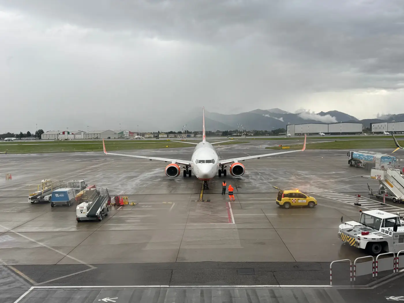
Every analyst who's pulled a satellite tasking order has asked some version of this at least once: can I just zoom in and read the registration off the tail? Commercial VHR imagery can't resolve a tail number, full stop, and it's worth knowing why before you spend a tasking budget expecting it.
Why tail numbers are a different problem than counting aircraft
A tail number is small. Registration characters on a narrowbody typically run 12 to 30 inches tall depending on operator convention, painted on a fuselage or vertical stabilizer that's itself only a few meters across. To resolve individual characters from directly overhead, you need enough pixels across each letter to tell it apart from the next one. In practice that means a ground sample distance in the low centimeters, not fractions of a meter.
Commercial very-high-resolution satellite constellations top out, as a rule of thumb, around 0.3m GSD for their sharpest panchromatic product. That's a huge jump over older imagery, and it's plenty to pick an aircraft out from the taxiway or the grass beside it. It's nowhere close to what's needed to resolve a six-character registration string painted in a font a few inches wide. Even a pan-sharpened composite at that resolution shows you a blob with a tail, not a readable code.
What 0.5m GSD actually gets you
This is the resolution band Aircraft Counting works in, and it's worth being precise about what it's for. At or below 0.5m GSD, RGB imagery resolves an aircraft's footprint well enough to count it and make a reasonable call on broad type: narrowbody, widebody, regional jet, turboprop. Wingspan, fuselage length, and tail shape all show up clearly enough to sort airframes into those buckets reliably, day over day.
What it doesn't get you is individual identity. No registration, no operator livery detail fine enough to split sub-fleets, nothing at the level of a tail-number match. If the question behind your search is whether airframe N12345 is sitting at a particular base today, satellite imagery at commercial VHR resolution isn't the tool for it, no matter how tight the tasking window.
What people use for registration-level identification instead
Tail-number-level identification on the ground usually comes from a different stack entirely: ADS-B and Mode S feeds while the aircraft is transponding, ramp photography from a spotter or a contracted ground visit, or airport-side records. None of that needs satellite resolution to solve, because it isn't a resolution problem. It's a data-source problem. Satellite imagery earns its keep somewhere else in the workflow.
Where it does earn its place is the question that's hard to answer any other way: how many aircraft are sitting on a given apron right now, and roughly what kind. A ground observer at one base can tell you that for one base. A fleet analyst tracking parked-aircraft counts and type mix across a lessor portfolio or a competitor's storage locations, daily, across every base that matters, needs something that scales without a person on site at each one. That's the gap a daily, dated count of parked aircraft by airport is built to close.
If what you're chasing is base activity and parked-fleet utilization rather than a specific tail number, that's the question worth tasking imagery for.